File:Baltics-1271.jpg: Difference between revisions
Jump to navigation
Jump to search

imported>Richard Jensen ({{ Information |Description= Map of Baltic lands in 1200 AD; zoom on Poland |Source= ''Freeman's Historical Geography'' (1903). Courtesy of [http://www.lib.utexas.edu/maps/historical/ Perry-Castañeda Library Map Collection], University of Texas, Austin. [http://www.lib.utexas.edu/maps/historical/baltics_1000.jpg Image location.] |Date= |Author= |Permission= {{PD-butrequest}} |other_versions= }}) |
imported>Caesar Schinas m (Robot: Changing template: PD-butrequest) |
||
| Line 11: | Line 11: | ||
|Author= | |Author= | ||
|Permission= {{PD | |Permission= {{PD|||request}} | ||
|other_versions= | |other_versions= | ||
Revision as of 03:06, 30 May 2009
Summary
Licensing/Copyright status
This media, Baltics-1271.jpg, is in the public domain
You may freely copy, distribute, display and perform this work, as well as make derivative and commercial works.
File history
Click on a date/time to view the file as it appeared at that time.
| Date/Time | Thumbnail | Dimensions | User | Comment | |
|---|---|---|---|---|---|
| current | 19:53, 11 March 2022 | 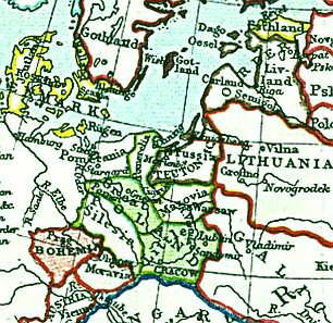 | 306 × 297 (48 KB) | Maintenance script (talk | contribs) | == Summary == Importing file |
You cannot overwrite this file.
File usage
The following page uses this file: