File:1930 View southeast from Cherry St and Villiers St.png

From Citizendium
Jump to navigation Jump to search

Original file(1,366 × 768 pixels, file size: 1.1 MB, MIME type: image/png)

This file is from a shared repository and may be used by other projects. The description on its file description page there is shown below.

Summary

Description
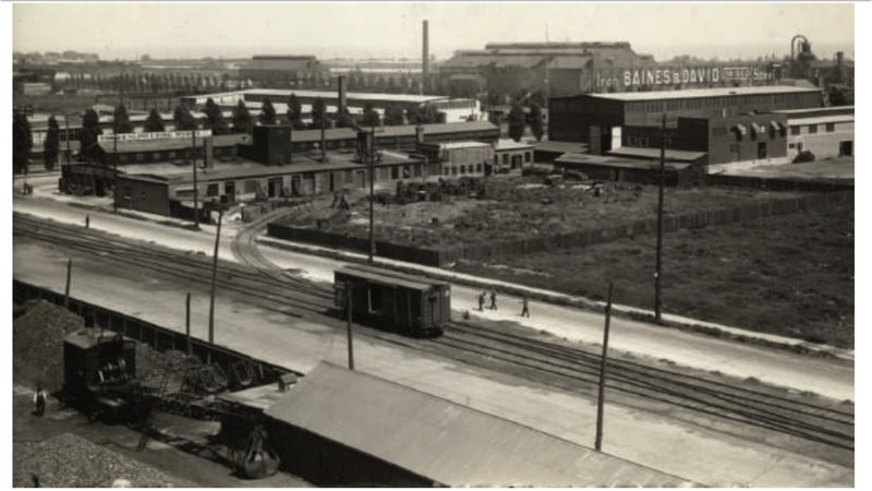
English: 1930 View southeast from Cherry St and Villiers St
This image is available from the Toronto Public Library under the reference number Toronto Public Library, Baldwin Collection, 942-1-9

This tag does not indicate the copyright status of the attached work. A normal copyright tag is still required. See Commons:Licensing.
English | français | македонски | slovenščina | +/−
Date
Source https://quaysideto.ca/wp-content/uploads/2019/04/Villiers-Island-Precinct-Plan-September-2017.pdf#page=27
Author Unknown authorUnknown author
Permission
(Reusing this file)
Public domain
This Canadian work is in the public domain in Canada because its copyright has expired due to one of the following:
1. it was subject to Crown copyright and was first published more than 50 years ago, or

it was not subject to Crown copyright, and

2. it is a photograph that was created prior to January 1, 1949, or
3. the creator died prior to January 1, 1972.

You must also include a United States public domain tag to indicate why this work is in the public domain in the United States. Note that this work might not be in the public domain in countries that do not apply the rule of the shorter term and have copyright terms longer than life of the author plus 50 years. In particular, Mexico is 100 years, Jamaica is 95 years, Colombia is 80 years, Guatemala and Samoa are 75 years, Switzerland and the United States are 70 years, and Venezuela is 60 years.


العربية  বাংলা  čeština  Deutsch  English  español  suomi  français  italiano  日本語  한국어  македонски  മലയാളം  Nederlands  português  português do Brasil  sicilianu  slovenščina  简体中文  繁體中文  +/−

Captions

Add a one-line explanation of what this file represents

Items portrayed in this file

depicts

image/png

29c8337d3732ea29bd85a0d5bd9e2975a165be78

1,155,868 byte

768 pixel

1,366 pixel

File history

Click on a date/time to view the file as it appeared at that time.

Date/TimeThumbnailDimensionsUserComment
current12:58, 6 May 2020Thumbnail for version as of 12:58, 6 May 20201,366 × 768 (1.1 MB)imagescommonswiki>Geo Swan{{Information |Description={{en|1=1930 View southeast from Cherry St and Villiers St}} {{TPL|Toronto Public Library, Baldwin Collection, 942-1-9}} |Source=https://quaysideto.ca/wp-content/uploads/2019/04/Villiers-Island-Precinct-Plan-September-2017.pdf#page=27 |Date=1930 |Author=unknown |Permission={{PD-Canada}} |other_versions= }} Category:Toronto Portlands

The following file is a duplicate of this file (more details):

The following page uses this file: